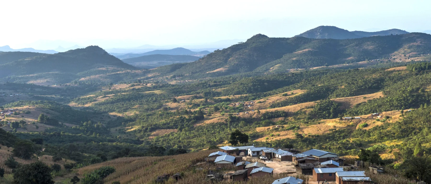
The publication evaluates the vertical accuracy of three freely available Digital Surface Models in Malawi, examining how terrain and land-cover characteristics affect their suitability for environmental applications.
The study evaluated the accuracy of three freely available digital elevation datasets – Shuttle Radar Topography Mission (SRTM), NASA Digital Elevation Model (NASADEM) and Advanced Spaceborne Thermal Emission and Reflection Radiometer (ASTER) – in representing the height and features of Malawi’s landscape. The researchers compared elevation measurements from these datasets with precise ground measurements to determine how closely they reflect actual terrain. They also examined how factors such as elevation, slope, the direction a slope faces, land shape and land cover influence the accuracy of the data.
The findings show that although SRTM and NASADEM performed similarly at the national level, the accuracy of all three datasets varied considerably across the country. They were more accurate in the relatively flat, low-lying Lower Shire Valley but recorded much larger errors in the mountainous Highlands, particularly in areas with steep slopes. The study highlights why it is important to consider local terrain conditions when selecting elevation data, especially for environmental applications such as flood-risk assessment, land-use planning and other activities that rely on accurate information about the landscape.
Other publication / Biofuels offer clear environmental benefits over fossil and biomass household fuels – but how do they affect the wider lives of farmers and users?
Project / Evaluating the opportunities for biofuels to contribute to poverty reduction, food security and energy access.
Perspective / SEI experts explore how community participation, stronger governance and Indigenous rights can shape a more equitable future for critical mineral mining.