Editor’s choice
Editor’s choice
SEI is working with the US Agency for International Development (USAID) and the National Aeronautics and Space Administration (NASA) to use satellite imagery to help the Mekong region to better predict and cope with natural disasters.
The Mekong region is already experiencing the impacts of climate change, and the best available projections show these impacts are likely to worsen. Several factors make countries in the region particularly vulnerable, including high exposure to intense storms, high sensitivity to warmer temperatures and precipitation patterns, and large populations in low-lying and coastal areas. The region’s poorest people will be disproportionately affected.
Launched on 31 August 2015 in Bangkok, SERVIR Mekong aims to help the governments of Cambodia, Laos, Myanmar, Thailand and Vietnam and other stakeholders in the region to better predict and cope with natural disasters for better climate services and environmental management.
The project is funded by USAID in partnership with NASA and implemented by the Asian Disaster Preparedness Center, SEI, Deltares and Spatial Informatics Group (SIG).
Inadequate data and limited access to good data are key challenges in this region. Through this project, NASA’s and other publicly available satellite imagery, geospatial data and maps can be used to enhance climate services and policy decisions on climate adaptation and disaster risk reduction in the Mekong region.
SEI’s role in the SERVIR Mekong project is focused on geospatial tool development, providing capacity building and training, assistance in institutional assessment survey and in conducting non-technical user oriented trainings.
SEI views the increased application of geospatial analysis as crucial for policy and planning needs, especially in the context of disaster risk reduction and response, water and food security, and landscape management to reduce greenhouse gas emissions.
“With this project we aim to support the building and institutionalizing of technical capacity of government decision-makers and key civil society groups in the Mekong region, so they can better integrate geospatial analysis into their decision-making, planning and communications”, says SEI Asia Centre Director Eric Kemp-Benedict.
One of the crucial contributions of SEI to the SERVIR Mekong will be to provide guidance on gender for GIS tool developers and potential tool users. SEI Senior Research Fellow Bernadette Resurrección is leading the effort to integrate gender concerns with GIS tool productions that thematically focus environmental/natural resource management, climate change and disasters.
Resurrección is leading the “Gender and GIS: Guidance Notes” as one of the knowledge products of SERVIR Mekong to provide detailed step-wise guidance on how to undertake a gender analysis to serve the ends of gender-sensitive GIS tool production, including suggesting potential parameters and sample indicators for gender-disaggregated data collection.
“Since the 1990s, gender scholars have been using GIS to communicate research messages”, she says. “However, there are hardly any GIS and gender products to date that show the huge implications of disasters and climate change on women and men’s lives, and the need for policy makers to respond to these. SEI and SERVIR Mekong are well placed to address this important gap.”
Developing well-tailored geospatial services requires ongoing engagement and dialogue between government and civil society end-users and the technical experts who develop and deliver these services, such as through the establishment of a vibrant community of practice, online and in person.
“SEI’s expertise on climate, resilience and gender issues as well as its experience with engagement and dialogue to build connections between individuals and institutions will be integral to reaching the project’s goals”, Kemp-Benedict says.
The SERVIR Mekong hub will be part of the global SERVIR network, supported by USAID and NASA. Existing SERVIR hubs provide a wide range of capacity building services to their member countries. For example, SERVIR Eastern and Southern Africa has developed a long-term capacity-building programme for land use land cover classification for greenhouse emissions inventory assessment in six countries.
The overarching goal of SERVIR is to enable developing countries to improve their environmental management and resilience to climate change by strengthening the capacity of governments and other key stakeholders to integrate Earth observation information and geospatial technologies into development decision-making.
Project / This project aims to upgrade the maproom of the Nigerian Meteorological Agency (NiMet) to a modern, Python-based system.
Journal article / This article investigates current stakeholder engagement processes used in climate adaptation, barriers and enablers, and how to support better implementation.
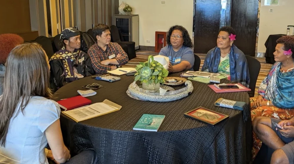
Perspective / Indigenous and local aquaculture producers reflected on the future of aquaculture Nature-based Solutions (NbS) at CBA20.