Editor’s choice
Editor’s choice
Water requirements to the year 2025 at regional and national levels are examined in order to assess emerging problems of stress on freshwater resources. Long-range water patterns will be governed by such future factors as population, economic scale and structure, technology, consumption patterns, agricultural practices and policy approaches. This study focuses on Conventional Development Scenarios which are driven by: 1) commonly used demographic and economic projections, 2) a convergence hypothesis that developing region consumption and production practices will evolve gradually in a globalizing economy toward those of industrialized regions, 3) an assumption of gradual technological advance without major surprises, and 4) the absence of major policy changes affecting water needs or use.
The scenarios show a rapid increase in water requirements, especially in developing regions. Several indices are introduced for assessing the level of future water vulnerability at the country level. These include the use-to-resource ratio, a gauge of average overall pressure on water resources and threats to aquatic ecosystems; coefficient of variation of precipitation, a measure of hydrological fluctuations; storage-to-flow ratio; an indicator of the capacity of infrastructure to mute such fluctuation; and import dependence, an index of reliance on inflows from contiguous countries. To supplement these physical indices of vulnerability, a socio-economic coping capacity index (average future per capita income) represents a country’s ability to endure emerging water problems and uncertainties. Together, the indices are used to signal changing water vulnerability for each country as the scenarios unfold. The information is capsulated in a series of “water stress” maps.
Event on 29 July in York / Join us for the launch of CS Co-labs to hear what is on offer, meet the team and network with others using or interested in citizen science methods.
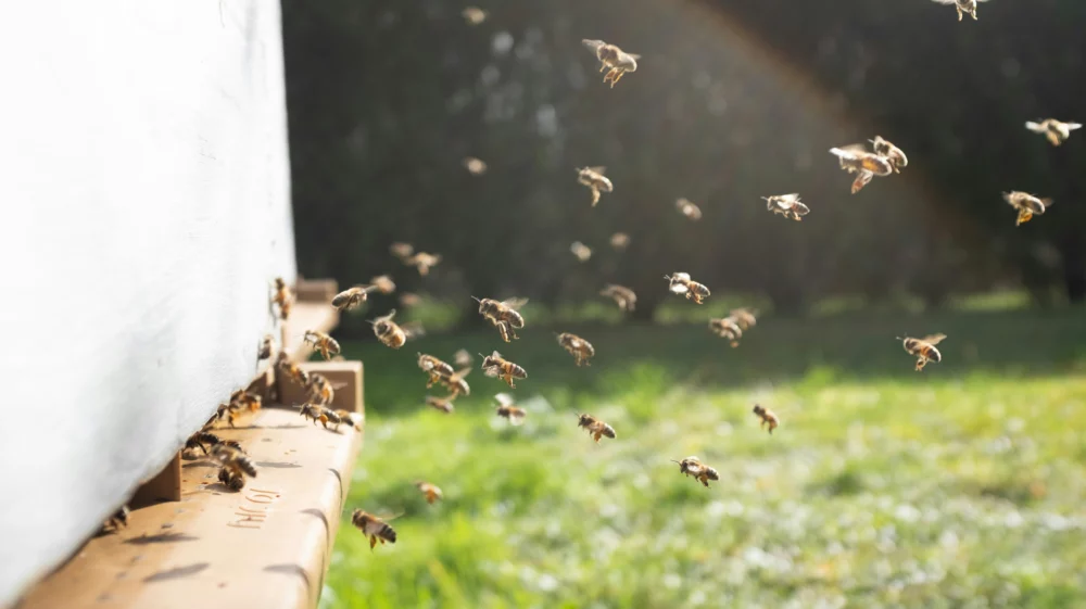
Other publication / This study finds that air pollution harms not only human health but also insect pollinators, with potential impacts on crop and food production.
Feature / This story explores how SEI's WEAP tool empowers planners and policymakers to build resilient and adaptable water systems across the drying western US.