Editor’s choice
Editor’s choice
The WetSAT-ML project (Wetlands flooding extent and trends using SATellite observations and Machine Learning) addresses the urgent need for improved monitoring tools to support wetland conservation efforts. Wetlands are vital ecosystems that support biodiversity, water regulation, and climate resilience. However, monitoring their hydrological dynamics remains a significant challenge due to the lack of timely and actionable data, particularly for vegetated and intermittently flooded areas.
Building on SEI-Latin America’s prior experience and partnerships, WetSAT-ML aims to develop an open-source, machine learning-based tool that uses radar satellite data from the Sentinel-1 mission to map wetland inundation and generate time series on flood extent, water permanence, and hydrological trends. It is designed to overcome the limitations of traditional optical remote sensing by using radar signals, which can penetrate cloud cover and vegetation canopies.
The project focuses on algorithm development, validation in real-world wetland environments, and stakeholder engagement, with a clear roadmap for documentation, dissemination, and scaling. Collaborations with external institutions in Colombia, Peru, the United States, and Thailand provide reference datasets and use cases for testing the tool across diverse wetland types.
Feature / SEI's Karin André has been appointed to the Water Centre Steering Committee at KTH Royal Institute of Technology.
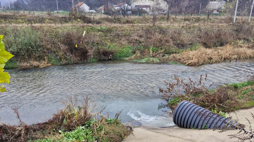
Feature / Key insights from a new SEI report on wastewater in Bosnia and Herzegovina, with author Daniel Ddiba.
SEI report / Sweden’s experience offers relevant insights for Bosnia and Herzegovina on how to make wastewater management more effective and sustainable.