Editor’s choice
Editor’s choice
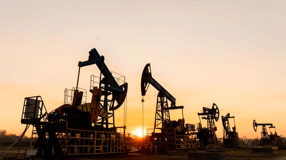
An open-access, web-based mapping platform is being developed by SEI and partners to track global fossil fuel infrastructure development and enable civil society organizations, governments, researchers and others to evaluate and communicate potential threats to ecosystems and communities.
A global overview of sedimentary basins with potential fossil fuel deposits, known potential exploration areas, existing production areas, and existing and planned pipelines, compiled using a range of open-source data products. Graphic: Fossil Fuel Atlas
Fossil Fuel Atlas
The world’s countries are on track to produce far more fossil fuels than consistent with their Paris Agreement commitment to limit global warming to 1.5°C or “well below” 2°C. Nevertheless, companies and countries are still expanding fossil fuel production activities, pushing extraction to levels that are inconsistent with a stable climate, and into areas that are culturally and biologically important, such as Indigenous land, protected ecosystems, and water basins.
To create transparency on the effects of this trajectory, SEI is working with the Institute for Governance & Sustainable Development and Global Energy Monitor to create a new data-driven platform – the Fossil Fuel Atlas – that allows users to visualize both where industry plans to build infrastructure, and how those plans could overlap with protected areas, Indigenous territories, Ramsar protected wetland sites, and other areas of ecological and cultural importance. Drawing on a methodology for the rapid assessment of threats, the project serves as an early warning mechanism enabling citizens and policymakers to identify a range of potential impacts and take informed action earlier in the process.
This mapping approach is being used in collaboration and partnership with a diverse range of civil society organizations and networks around the world, and SEI is developing Fossil Fuel Atlas’ tools and resources in ongoing stakeholder feedback cycles. A core aspect of this work is transparency: the platform brings together disparate publicly available data into an easy-to-use and accessible mapping tool. The final platform is designed to be open-access, enabling non-expert users to select and visualize data from a broad database on emerging fossil fuel developments, and generate maps customized to the users’ interests and applications.
Press release / The Fossil Fuel Atlas is a new tool that allows the public to see where existing and emerging fossil fuel extraction projects encroach on protected ecosystems.
Other publication / A GIS-based platform allows users to visualize current and planned fossil fuel infrastructure and its overlap with areas of ecological and cultural importance.
Past event / SEI's mapping tools reveal that planned fossil fuel pipelines and exploration threaten biodiversity, protected lands and communities all over the world.
Past event / SEI's mapping tools reveal that planned fossil fuel pipelines and exploration threaten biodiversity, protected lands and communities all over the world.
Other publication / The 2021 report reveals that countries' fossil fuel production plans remain dangerously out of sync with the limits consistent with the Paris Agreement.
Initiative / The Carbon Lock-In Initiative seeks to uncover and address the barriers that uphold the fossil fuel-based economy.