Editor’s choice
Editor’s choice
The first versions of the WetSAT-ML tool were developed by SEI-LA researchers during 2025, using R and Python programming languages. The tool was developed in response to a global need for reliable information on wetland ecosystems. Wetlands have been recognized as a global priority in several multilateral instruments, where related targets and reporting requirements have been established for the Parties. However, meeting reporting needs requires monitoring systems and tools that provide timely and accurate data on wetlands. According to the UNEP Mid-term status of SDG Indicator 6.6.1 and Acceleration Needs Report 2024, no global observation systems can currently deliver actionable data on wetland ecosystems, posing a challenge to achieving global commitments for wetlands conservation. The tool was developed in three main phases:
For algorithm development and model training, testing areas in different regions with reference data were used. Specifically, the South Florida Everglades, United States, and the wetlands of the middle Atrato River basin, Colombia, were used. The algorithms are based on the packages and libraries available in Scikit-Learn. Currently, the tool has two pre-trained machine learning models (Random Forest and K-means). We developed a proof of concept in four wetland areas: the Meghna River, Thailand; and the Ayapel, Barbacoa, and Beté wetlands, Colombia. For documentation, please visit the following links, where you will find the complete technical support and guides for WetSAT in its official GitHub repository:
Accessibility: WetSAT is open and free to all types of audiences and ages.
Licenses: WetSAT use GNU 3, not require commercial licenses or usage fees.
Intellectual property: WetSAT is Copyright (c) 2025 of the Stockholm Environment Institute for Latin America (SEI-LA).
Access and use of the code: The original codes and scripts are freely accessible via the GitHub repository, and any editing or updating of the code is subject to approval by the SEI.
Project / WetSAT-ML tool will help to monitor wetlands using satellite images and machine learning.
Feature / SEI's Karin André has been appointed to the Water Centre Steering Committee at KTH Royal Institute of Technology.
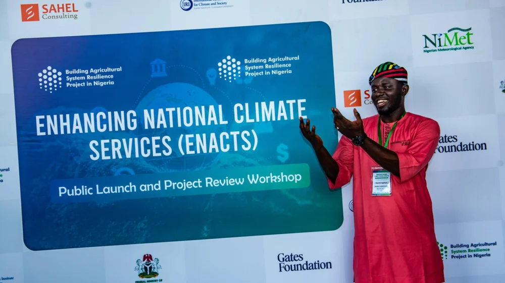
Program / ENACTS transforms fragmented climate data into actionable intelligence, enabling governments and communities to make smarter, climate-resilient decisions.
Tool / The Climate Data Tool is an open-source climate data processing and visualization software.