Editor’s choice
Editor’s choice
The web-based monitoring system simplifies the application of freely available remote sensing data over the large spatial domain to assess river planform changes to support stakeholders’ operational planning and prioritizing investments for sustainable Ayeyarwady River management.
The main aim of this research was to develop a web-based, remote sensing data-driven, operational, and large-scale seasonal river morphology monitoring system for the Ayeyarwady river to support decision making.
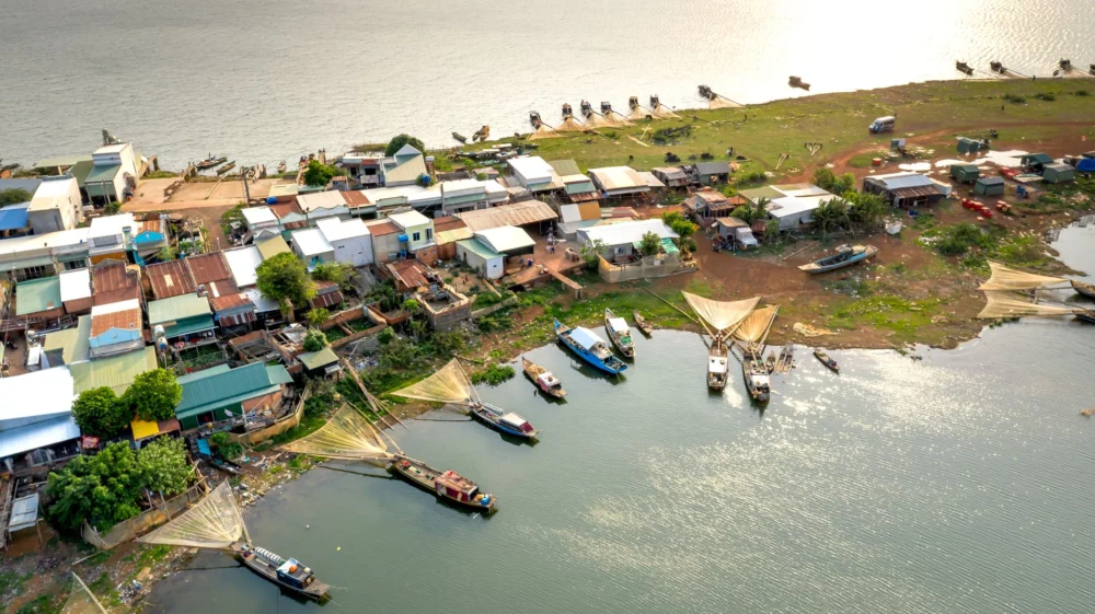
The key contribution of this research stems from the application of well-proven remote sensing morphological monitoring method for the operational monitoring of 3382 km of the Ayeyarwady river and its tributaries encompassing the whole process of a stakeholder-centric co-development framework.
Leveraging long-term availability of Landsat satellite data, 30 years of historical maps (1988–2019) of erosion and accretion areas along with river channel were produced to support mapping of vulnerable hotspots. A user-centric simple web interface was developed to enable wide range of stakeholders to access and download the data including an option to estimate river channel width at a desired cross-section.
Past event / Join SEI experts at Mekong Forum 2026, featuring the technical sessions, exhibition, and innovation pitches.
Past event / SEI and Mekong Institute (MI) will renew their shared commitment for sustainable development and climate resilience in the Mekong Region.
Perspective / Collaborative and multi-benefit approaches with nature-based solutions can help build a resilient, equitable water future for the Mekong Region.