SEI worked with graduate students and University of California Davis to assess the extent to which data centre siting in California disproportionately affects local water availability for vulnerable communities.
2026
Data centres’ effects on water supply and local populations is a rapidly evolving research topic, and one that must be understood to advance the UN Sustainable Development Goal of clean water and sanitation.
In this project, SEI and UC Davis co-developed an analysis framework based on geospatial data that helps determine how data centres across California affect water availability in the surrounding areas and what populations they affect most. Together, they combined this geospatial data with the US Center for Disease Control’s Social Vulnerability Index, which captures 16 variables including socioeconomic and racial and ethnic minority status, to determine whether these communities’ water security was disproportionately affected by nearby data centres.
The team will use the geospatial data and informational interviews to develop policy insights and recommendations that can guide land use zoning, environmental impact assessment and permitting, water utility pricing and more.
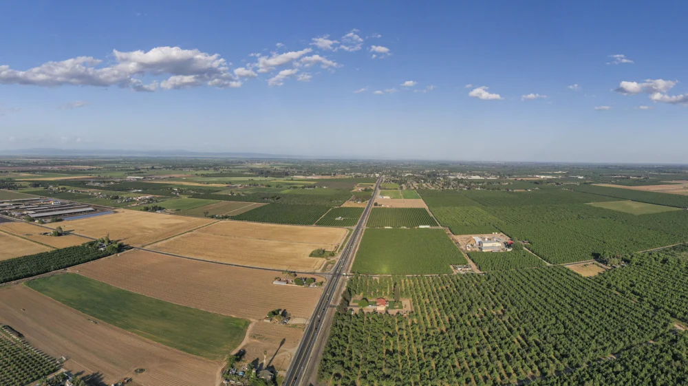
Project / SEI is creating an automated tool that processes remotely sensed data to determine cropping patterns in agricultural areas in California.
2026 - 2028 / About Food and agriculture, Planning and modelling, Public policy and Water resources
Project / This project aims to build a comprehensive decision-support toolkit to help planners and policymakers address energy insecurity across New York State.
2026 - 2028 / About Energy access, Household energy, Planning and modelling and Public policy
Feature / Trase identifies the leading coffee trading companies and estimate where traders and markets source coffee from within key coffee-producing countries.
2 September 2026 / About Forests, Geopolitics, Public policy and Supply chains