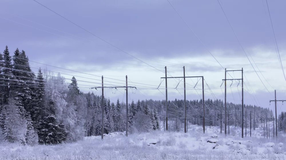
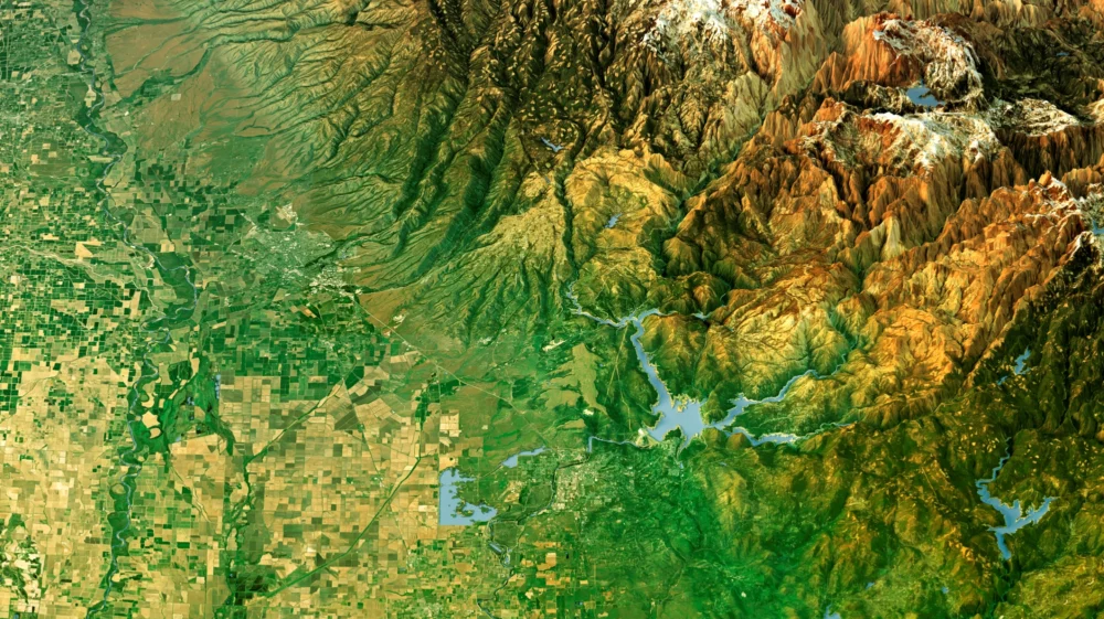
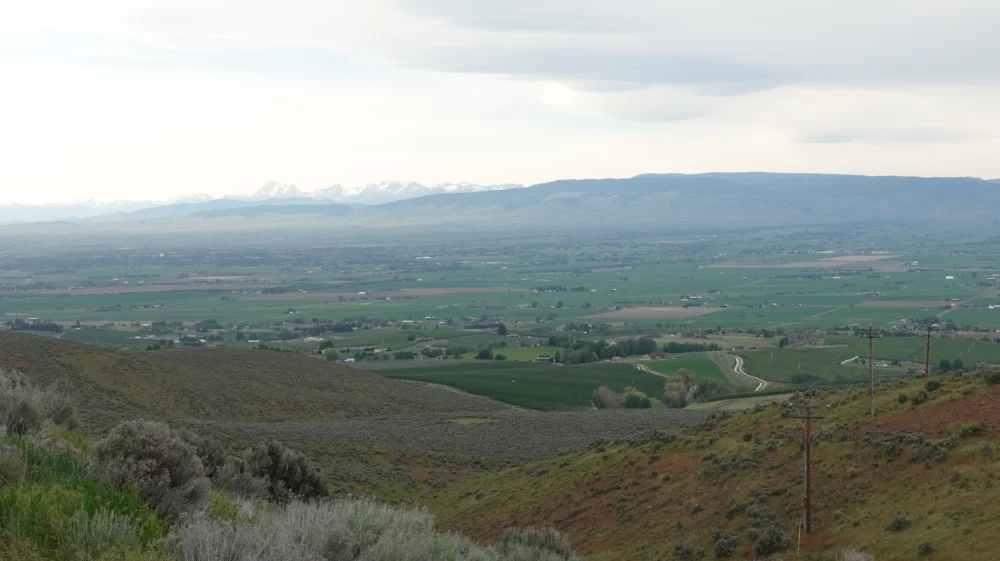
This project supports the real-time management of the Central Valley, California water system during times of drought by developing a tool that maps the extent of irrigated agricultural cropping.
2026–2028
SEI is developing an automated tool that processes remote sensing data from satellites and other NASA-developed technology to determine where irrigated cropping is present throughout California’s Central Valley.
The tool will provide the California State Water Resources Control Board with monthly maps showing the extent of irrigated cropping. This information allows the Water Board to make water management decisions that allocate resources more efficiently to farmers, cities and ecosystems during droughts.
Project / A NASA-funded project explored whether satellite imagery can help Indigenous tribes in California conserve land and water in ways that meet their needs.
2022 - 2023 / About Adaptation, Climate services, Disaster risk, Ecosystems, Forests, Land use, Participation, Planning and modelling and Water resources
Journal article / This research examines how climate extremes are changing across Amazonia, identifying patterns in temperature and water deficit across seasons and locations.
10 September 2026 / About Ecosystems, Food and agriculture and Forests
Project / This project seeks to inform planning on lithium mining in the Americas that minimizes its negative social and environmental effects.
2023 / About Land use, Participation, Pollution and Water resources
Press release / A new study with over 50 scientists, led by Lancaster University, reveals that Amazonia is experiencing rapid growth in extreme temperatures and water stress.
9 September 2026 / About Climate services, Finance, Food and agriculture, Forests and Geopolitics