171 results / 17 of 19 pages
Feature / A major update to SEI’s flagship water modelling tool enables policy-makers and researchers to more easily determine watershed boundaries and river pathways.

Journal article / This paper discusses remote sensing based approaches for mapping open water surfaces using MODIS data.
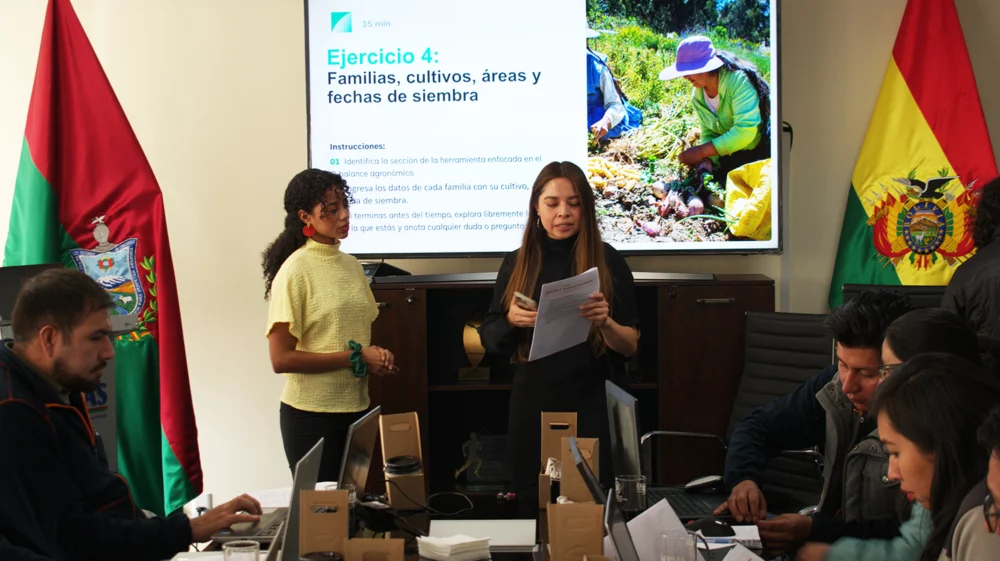
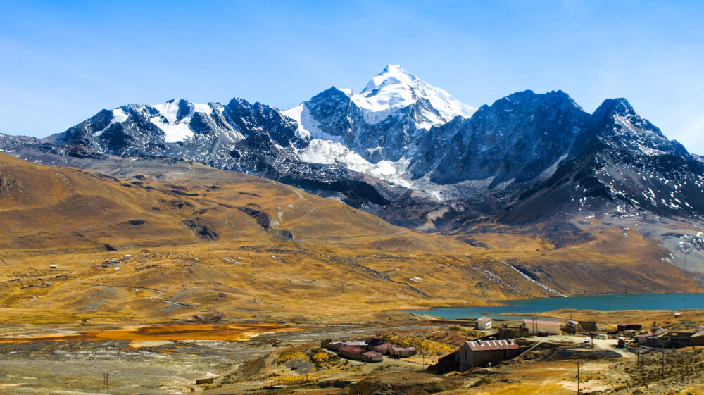
Feature / SEI researchers recently unveiled the first comprehensive model of Bolivia’s rivers, lakes and streams, as part of the Bolivia National Water Balance.
Project / SEI is building the Ventura Water Allocation Model (VWAM) using SEI’s flagship WEAP software for the Ventura River watershed in California.
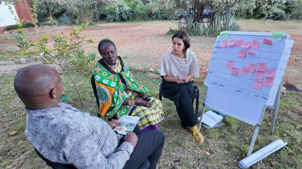
Other publication / This document draws on SEI experience with WEAP and LEAP to provide guidance for mainstreaming gender and social equity issues into modelling studies
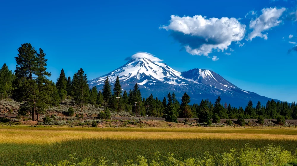
Project / SEI is developing the Shasta River Water Allocation Model to help evaluate potential management actions in the watershed under the California Water Action Plan.
Project / SEI worked with the Yolo County Flood Control and Water Conservation District to produce a Stormwater Resources Plan.
Project / This project helps countries in the NENA region adopt an analytical framework on the Water-Food-Energy-Climate-Ecosystem Nexus.