Editor’s choice
Editor’s choice
Journal article / This research aimed to develop a web-based, remote sensing data-driven, operational, and large-scale seasonal river morphology monitoring system.
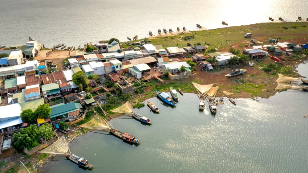
Journal article / This study aims to detect riverbank erosion and identify riverbank erosion hotspots along the Mekong River in Cambodia.
Perspective / AI-powered monitoring tools offer early-warning insights to policymakers and communities to conserve the wetlands of the shared Meghna River Basin.
As the platform continues to evolve, additional case studies, perspectives, and tool-focused publications will be shared through SEI channels to document applications, lessons learned, and impacts.
Asia River Monitoring is developed and maintained by Stockholm Environment Institute – Asia (SEI – Asia) through a combination of internal and project-based funding aligned with SEI’s research and tool development priorities.
The Wetland Monitoring Tool has been developed with support from the SEI Tools and Methods Fund and through the Transboundary Rivers of South Asia (TROSA) Phase-2: Rivers, Rights, and Resilience (T2:3R) project. TROSA Phase-2 is implemented by SEI and led by Oxfam Novib, with funding from the Swedish government.
The platform and its tools are developed in consultation and collaboration with government agencies, research institutions, and civil society partners at national and sub-national levels across South and Southeast Asia. These partnerships support the application, validation, and refinement of the tools in real-world contexts related to riverbank erosion, wetland management, coastal change, and climate resilience.
Program / This 4-year program aims to foster stronger cooperation in managing shared water resources and building resilience among riparian communities.
Initiative / Our work aims to transform current decision making around access to water, the greatest risk to global prosperity, and addressing the SDGs.
Project / This project aims to scale a satellite-based Wetland Monitoring Tool across the country’s Ramsar Sites and nationally important wetlands.
Event on 22 July – 23 July in Bangkok / Join SEI experts at Mekong Forum 2026, featuring the technical sessions, exhibition, and innovation pitches.
Past event / Join SEI and CUSRI in building knowledge and connecting research to policy for Thailand's sustainable climate adaptation.